data storage (lots of it; every server with every bit of data, every picture, every post, is belching carbon around the world, be wise)
media reader (CD’s and DVD’s, formerly 9-track tapes for satellite data)
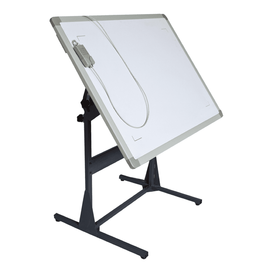
digitizer (but increasingly, people get their data from large-scale scanners, which we now have in the library and geology)
scanners, which can be regular size or large-format
…and the software that turns the colors into lines (roads) and/or filled polygons (geologic map units)
large-format printers (one in Geology, one in the Library)
Global Positioning System (GPS) receivers to collect spatially aware field data (locations, photos, etc)
your phone or tablet for data input where you are the “mouse” clicking around in the field.
Software
the core GIS (which may be a series of components to do various analyses and manipulations like Remote Sensing)
AddOns or PlugIns written for the core: e.g., modeling software (Mike McGlue ’99 used an EPA program that ran on top of Arc called BASINS to model water quality in Rockbridge County; Chantal Iosso, ’20 modeled floods on the Maury with and without the dam at Jordans Point using GIS data and HEC GeoRAS from the Corps of Engineers)
Map Servers
ArcGIS online (lots of ESRI and community data, and also lots of junk to wade through)
databases access through “web services” at places like the US Geological Survey or NOAA so that you can use water quality data or weather radar directly in your GIS project